

 Image 1 of 3
 Image 2 of 3
 Image 3 of 3
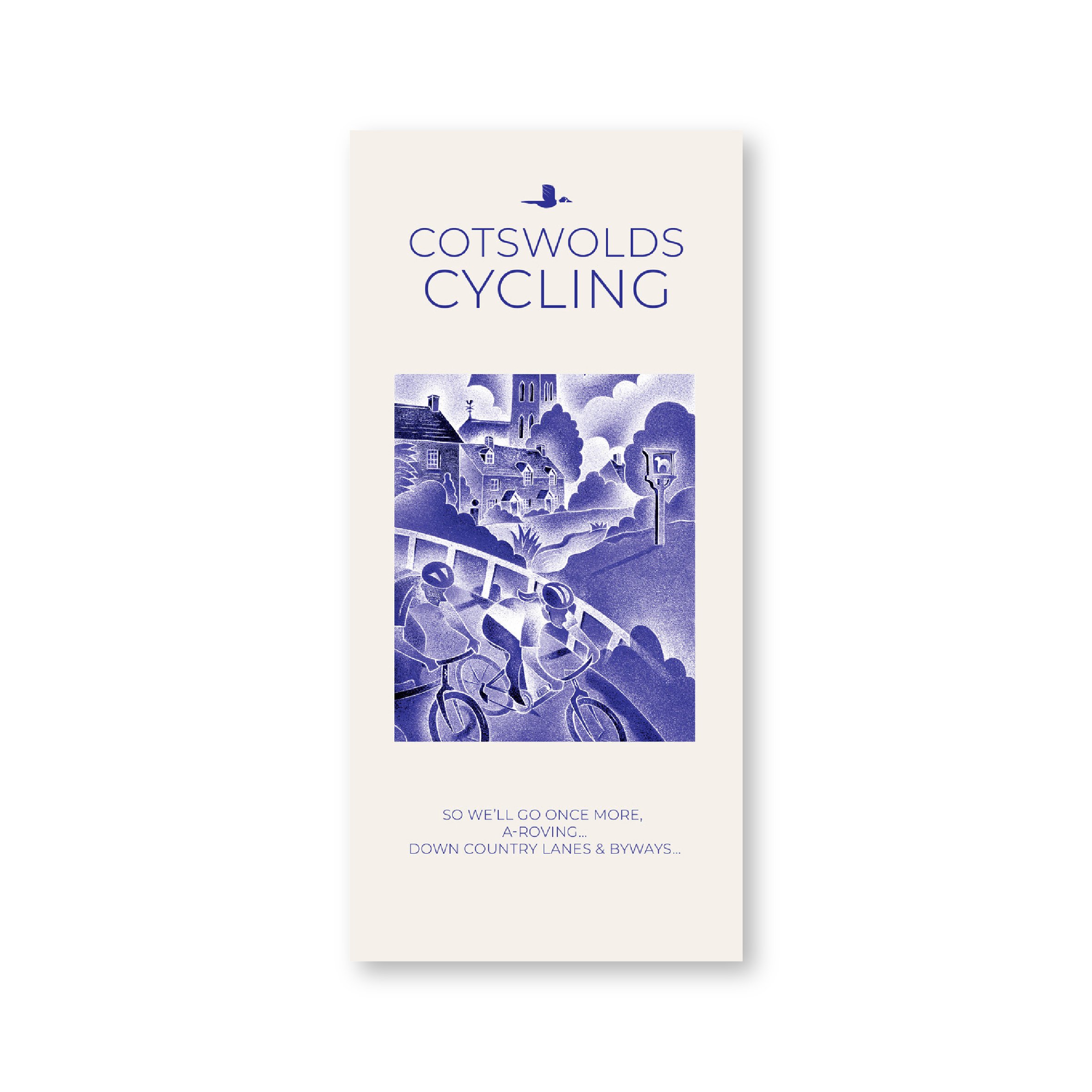
Embrace the Great Outdoors: The Joy & Freedom of Cycling Country Lanes & Byways
Create your own routes and seek new adventures, or follow our commissioned routes, the National Cycle Network and Cycle Trails
Let the English Landscape be your ultimate prize:
Timeless River Valleys, Scenic Villages, Ancient Roman Roads, Heavenly Views…
Laminated – Waterproof – Tear Resistant – Altitude Layering – Ideal Scale for Touring
Tourist Attractions Illustrated:
Ancient Monuments – Churches – Historic Buildings – Gardens – Scenic Villages – Places to Eat, Drink, & Stay
“Perhaps you need a better map, or, more accurately, you need the collection of Country Lanes Cycling Guides from Goldeneye covering beauty spots from the Cotswolds to Cornwall, and carefully prepared to keep you on the bendy and narrow, rather than the fast and four-lane.” Sunday Times Travel
The Cotswolds are ideal for the touring cyclist. They represent England at her very best. Long, windy lanes connect beautiful villages with excellent pubs and friendly tearooms. The landscape you cycle through is rich in imagery; rolling, “galloping country”, dry-stone walls dividing vast, sweeping sheep pastures, lazy trickling trout streams and quaint hamlets undisturbed by coach, sightseer or time. The landscape undulates, and as you reach the top of a little hill, you will rest and peer down a valley where evidence of local craftsmanship is ever present in the shape of tithe barns, churches, farms and cottages.
The twenty-eight circular routes are designed to follow the quietest country lanes and to introduce you to the best of the Cotswolds. They are only an introduction. The purists may prefer to pursue their own course. They will, we hope, enjoy and appreciate the clarity of our mapping. So free the spirit for the joy of the open road…and enjoy the Cotswolds…. Happy Cycling, Bill Trelawney
Recommended Routes/Trails
National Cycle Network (NCN)
1. NCN Route 5. Stratford-upon-Avon – Banbury – Oxford. The Traffic-Free sections run along the Oxford Waterway (see below), from Oxford to Woodstock and northwards, and a couple of short sections from Bodicote, south of Banbury (see map reference Q1).
2. NCN Route 41. Gloucester & Sharpness Canal – Bristol. The Traffic-Free section runs between Frampton-on-Severn and Slimbridge for about 6km/4 miles.
3. NCN Route 45. Gloucester – Salisbury via Stroud, Cirencester & Swindon. There remain gaps in the route. The Traffic-Free sections runs between South Cerney and Cricklade for about 10km/7 miles.
4. NCN Route 48. Northleach - Cirencester.
5. Regional Route 57. Northleach – Witney. The Traffic-Free section runs between Minster Lovell and Witney for about 5km/3 miles.
Traffic-Free Family Routes/Trails
1. Stroud Valley Cycle Trail. 15km/9.5miles. Former railway track along the Nailsworth Valley. Start at Kings Stanley car park, cross A46, to Dudbridge Roundabout and follow trail to Egypt Mill. (D8)
2. The Oxford Waterway. 15km/9.5miles. Trail along canal towpath. Best started from Wolvercote car park. Suggest you first head north towards Duke’s Lock, Kidlington Green Lock, Roundham Lock and the Jolly Boatman Inn, then onto Thrupp. Return to Wolvercote, and south to Oxford City Centre. (R7)
3. Forest of Dean Family Trail. 15km/9miles. Former mining tracks now converted into a web of criss-crossing biking trails. This circular route starts from Pedalabikeaway – Drybrook Road – Dilke Hospital – Blackpool Brook – Burnt Log – Connop Wharf with off-shoot trail to Coleford via Parkend. The routes are waymarked. A detailed map is available from the bike hire hut. Refreshments. (A6)