Cycling Country Lanes
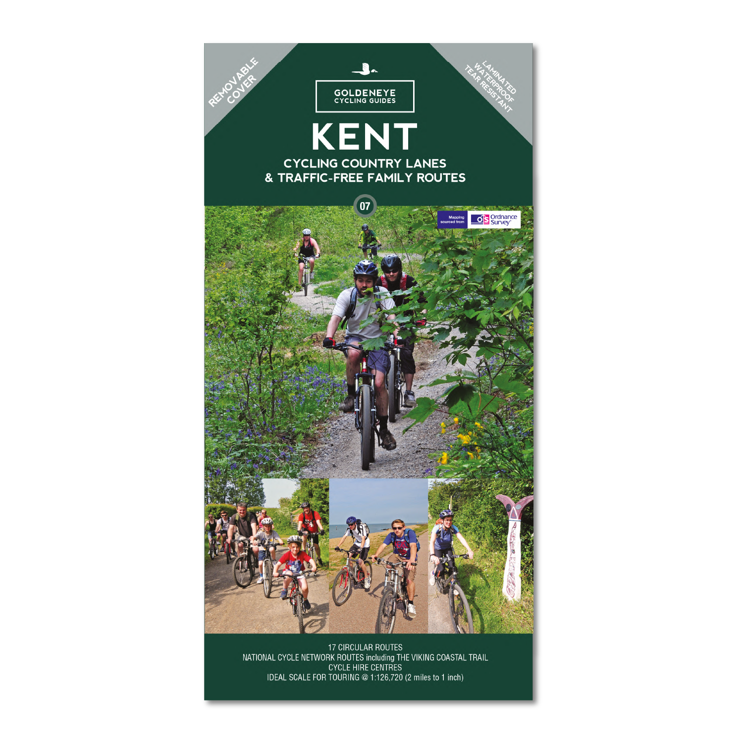
Our maps are double-sided, printed on an A2 sheet with a concertina fold. This allows for easy folding and folding, and an ease of access to the mapping. The material is rain and tear-resistant. Our early maps were designed at the scale of 2 miles to 1 inch/1:126,720. The later designs along with digitalisation are 1: 100,000. We were encouraged by the Cycle Touring Club to convert our cartography toward the cycle market (to replace the out-of-print Bartholomew series). As time and the series progressed we have added more data: The National Cycle Network routes, Regional Routes, and Traffic-Free Family Routes, as and when they are developed. These routes are in addition to the Circular Routes Goldeneye Commissioned at the outset of our publishing schedule. We are also adding to new editions; bike shops, cycle hire, and tea rooms, along with the tourist attractions already featured. Our plan is to make available digital versions for cell phones and tablets and to update, on an annual basis.
National Cycle Network (NCN)
This is a linked series of traffic-free paths and traffic-calmed roads being developed across the UK linking town centres and the countryside. The so-named route numbers do not always join up as the overall planned route has not yet been completed and sometimes they overlap with other routes. sustrans.org.uk